Why Globdrop Doesn't Use the Dymaxion Map
Fuller's Dymaxion map distorts area far less than Mercator. Why it still doesn't fit Globdrop: north-up maps, scores in km, distance on a flat image, cut faces.
The geography behind Globdrop. Why Mercator makes Greenland look as big as Africa, the forward and inverse formulas of the six coordinate systems in the game, and why we did not use Fuller's Dymaxion map even though it distorts area far less.
Also how the game is designed: what it shows after each click and why, how we made a fictional map playable, why your mental map puts Reno east of Los Angeles, and how we chose the flags in Flag Mode.
Projects: Globdrop, Map distortion calculator
Fuller's Dymaxion map distorts area far less than Mercator. Why it still doesn't fit Globdrop: north-up maps, scores in km, distance on a flat image, cut faces.
Go behind the scenes of how we selected, grouped, and curated the four flag scenarios in Globdrop, from autonomous regions to special design anomalies.
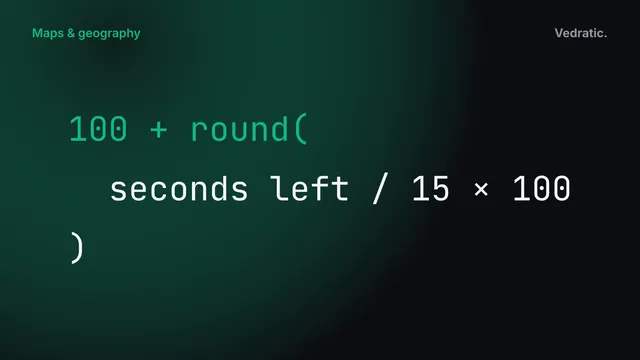
We are excited to launch Flag Mode in Globdrop! Learn how the new mode works, how to play it, and the different flag scenarios and difficulty options available.
Reno is west of Los Angeles, Windsor is south of Detroit and Maine is the US state closest to Africa. Why memory gets them wrong, and where Globdrop tests them.
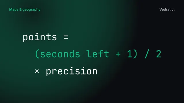
What Globdrop shows after each click, and why: two pins, a dashed error line, the distance, a threshold per map and a time multiplier, for survey knowledge.
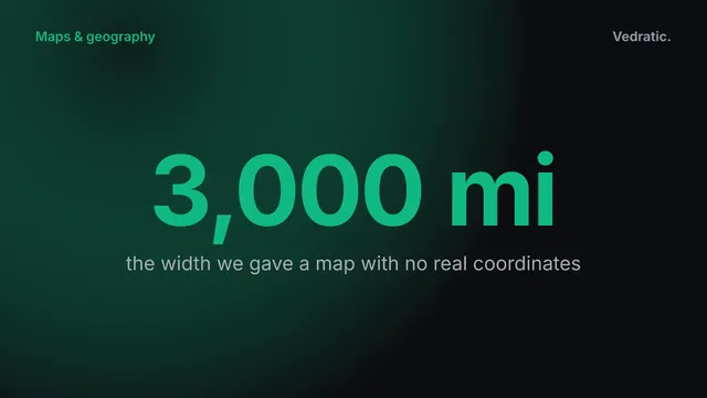
How we calibrated a map with no real coordinates: the Linear system, a 1242×848 px bounding box, a 3,000-mile width, a 200-mile threshold and 26 islands.
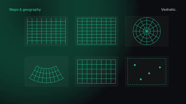
Why no flat map is exact, and the forward and inverse formulas Globdrop uses: Mercator, Miller, Lambert azimuthal, Albers, UTM and a flat grid for fiction.
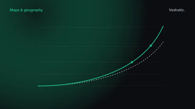
Why Greenland looks as big as Africa on a Mercator map: area grows as sec²φ, 4× at 60° and about 10.5× at 72°. And why Globdrop's world map uses Miller.
How our apps are built, and how we plan work with Andamio.
11 articles
Personal finance in the browser: how Ahorreo counts your money and keeps it private.
6 articles
Places rebuilt year by year in 3D with Chronotopia, and where every date and shape comes from.
4 articles