Geography game

Globdrop

A geography game. Place cities, landmarks and fictional islands on a map, or name flags against the clock. 16 scenarios, free to play, with ads.

  • Active
  • Since 2026
  • Built with
    • TypeScript
    • Vite
    • No UI framework
    • Vitest

Why we built it

Most geography quizzes ask you to pick the right name from a list. We wanted one where knowing roughly where a place is counts for something, so Globdrop scores by distance: a click 5 km away is almost as good as a direct hit, and one 40 km away still earns a little.

It grew out of small map games we had made before it had a name. The first commit of the current code, on 8 May 2026, brought those prototypes in as legacy assets. The largest scenario is still the 946 municipalities of Catalonia.

How it works

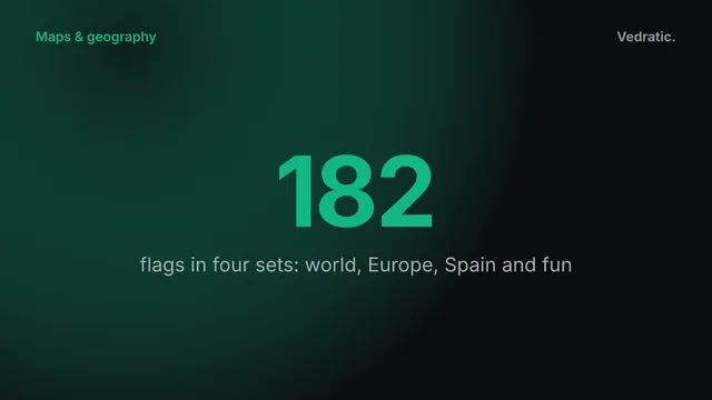
16 scenarios in two families: 12 maps with 1,380 places in total, and 4 flag sets with 182 flags. Every map scenario has its own image, its own coordinate system and its own distance threshold.

Map scenarios

Scenario Places Coordinates Zero points beyond Difficulty
Municipalities of Catalonia 946 UTM 50 km Hard
World Capitals 193 Miller cylindrical 2,000 km Medium
Capitals of Europe 50 Lambert azimuthal equal-area 500 km Easy
US States 50 Albers equal-area conic 500 mi Medium
World Volcanoes 22 Miller cylindrical 2,000 km Medium
Greatest Peaks 23 Miller cylindrical 2,000 km Hard
Ancient Wonders 14 Latitude and longitude (WGS84) 500 km Easy
Famous Skyscrapers 10 Miller cylindrical 2,000 km Easy
Sports Stadiums 20 Miller cylindrical 2,000 km Medium
Middle-earth 16 Linear 100 mi Medium
Westeros (Game of Thrones) 10 Linear 200 mi Easy
Grand Line (One Piece) 26 Linear 200 mi Medium

Flag scenarios

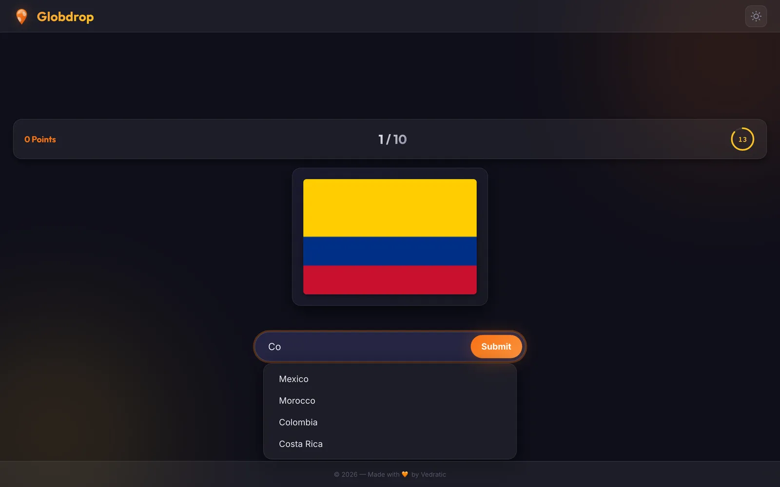
Name the flag by picking from four options (Test) or by typing it, with suggestions as you type (Write).

Scenario Flags Difficulty
Flags of the World 74 Medium
Flags of Europe 35 Easy
Flags of Spain 19 Medium
Fun with Flags 54 Hard

Difficulty is our own rating; the game doesn't define one.

How a click becomes a score

Map scenarios

points = (seconds left + 1) / 2 × precision

Precision is 100 for a click on the exact spot and falls in a straight line to 0 at the scenario's threshold: 50 km for Catalonia, up to 2,000 km for the world maps. Beyond it, or when the time runs out, the round scores 0.
Flag scenarios

points = 100 + round(seconds left / 15 × 100)

A correct answer is worth 100 points, plus a speed bonus of up to 100 more. A wrong answer scores 0.

Example: in Catalonia, you click 5 km from the town with 6 seconds left. The multiplier is (6 + 1) / 2 = 3.5, the precision is 90, and the round scores 315 points.

6 coordinate systems

A map image only becomes a game once the code knows which real point each pixel stands for. Each scenario declares the coordinates of its image's corners and the projection that joins them, and the game converts clicks with the matching formula. On the maps of the real world that conversion runs backwards too: your click becomes a latitude and longitude, and the miss is measured on the globe. Catalonia and the fictional maps are measured on the image.

  • Miller cylindrical: the world maps. World Capitals, World Volcanoes, Greatest Peaks, Famous Skyscrapers, Sports Stadiums.
  • UTM: Catalonia, in metres. Municipalities of Catalonia.
  • Lambert azimuthal equal-area: Europe, centred on 52° N, 10° E. Capitals of Europe.
  • Albers equal-area conic: the United States. US States.
  • Latitude and longitude (WGS84): the ancient wonders, with no projection at all. Ancient Wonders.
  • Linear: the fictional maps: pixels scaled to an invented width. Middle-earth, Westeros (Game of Thrones), Grand Line (One Piece).

The maths behind them is in The mathematics of map projections.

Guides

What we learned

  • An image with pins is enough. Globdrop doesn't draw its maps in code. Each scenario shows one image, an SVG, WebP or PNG file placed in an <img> tag, with known corners. The game itself stays at about 19 KB of JavaScript (gzipped), and most of what you download is the map.
  • No single projection fits every map. A world map, a region measured in UTM metres and an invented continent need different maths to turn a click into a distance, which is why there are 6 systems for 12 maps.
  • Data drifts. The scenario list in the game states its own place counts, and three of them no longer match the scenario files. The figures on this page are counted from the files.

Limitations

What Globdrop doesn't do, so you can decide before you start.

  • No accounts, leaderboards or multiplayer. You can share a result as text and challenge someone to beat it, but nothing is compared on a server.
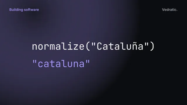
  • Flag names exist in Catalan, Spanish and English only. The interface has six languages, but in Chinese, Arabic or Japanese a typed answer only counts if it's one of those three names.
  • The fictional maps have no real coordinates: their scale in miles is one we chose, so a distance there is only a way to score, not a fact.
  • The game shows Google AdSense ads.
  • It needs a connection. The service worker keeps what you have already loaded, but offline play is not something we promise.

Frequently Asked Questions

What is Globdrop?

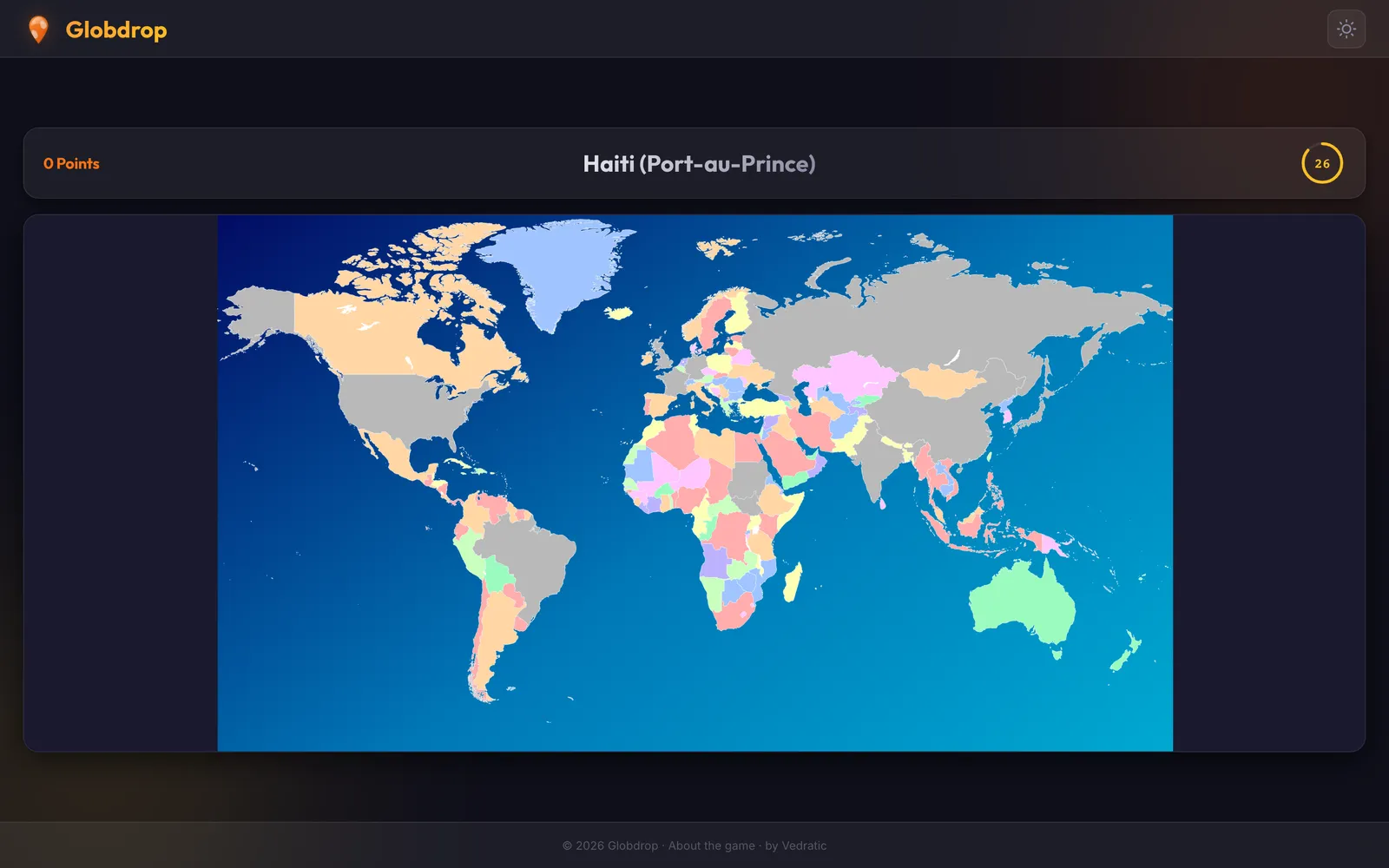
A geography game that runs in your browser. In map scenarios you are given the name of a place and click where you think it is; in flag scenarios you name the flag, by picking from four options (Test) or typing the answer (Write). There are 16 scenarios: 12 maps with 1,380 locations in total, and 4 flag sets with 182 flags.

Is it free?

Yes. There are no purchases and no account. The game shows Google AdSense ads, which help pay for it.

Do I need to install anything?

No. Open globdrop.vedratic.com and play. If you want, you can install it as an app from the browser menu. A service worker keeps a copy of the files you have already loaded, so scenarios you have played before may still open without a connection, but the game is designed to be played online.

How is my score calculated?

In map scenarios, each round scores (seconds left + 1) / 2 × precision. Precision goes from 100, for a click on the exact spot, down to 0 at the scenario's distance threshold. In flag scenarios, a correct answer is worth 100 points plus a speed bonus of up to 100 more: round(seconds left / 15 × 100).

What is the distance threshold?

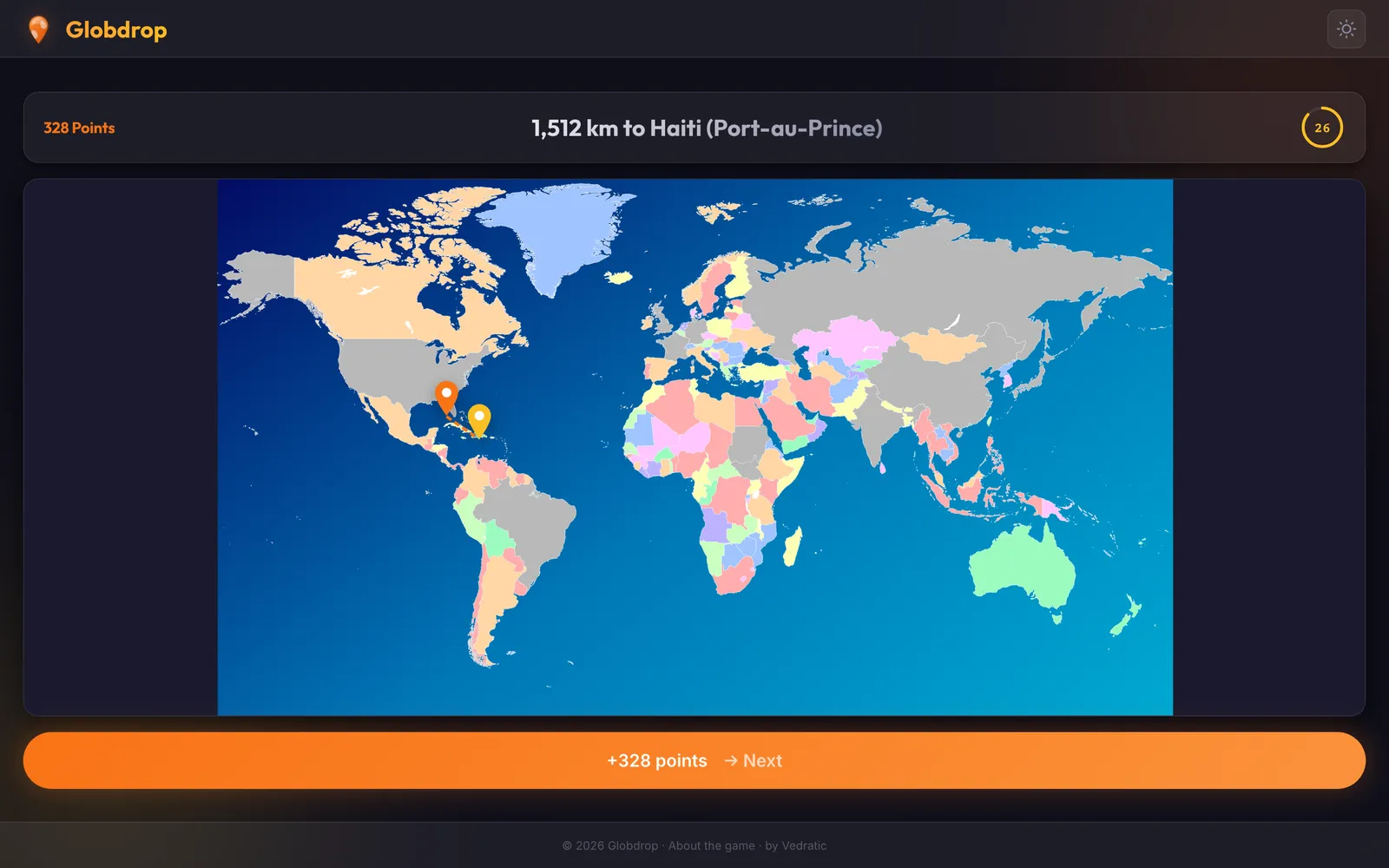
The distance beyond which a click scores zero. It depends on the size of the map: 50 km for the Catalan municipalities, 500 km for the capitals of Europe, 500 miles for the US states and 2,000 km for world-scale scenarios such as world capitals or volcanoes. After each round, a line on the map shows how far off you were.

Is there a leaderboard?

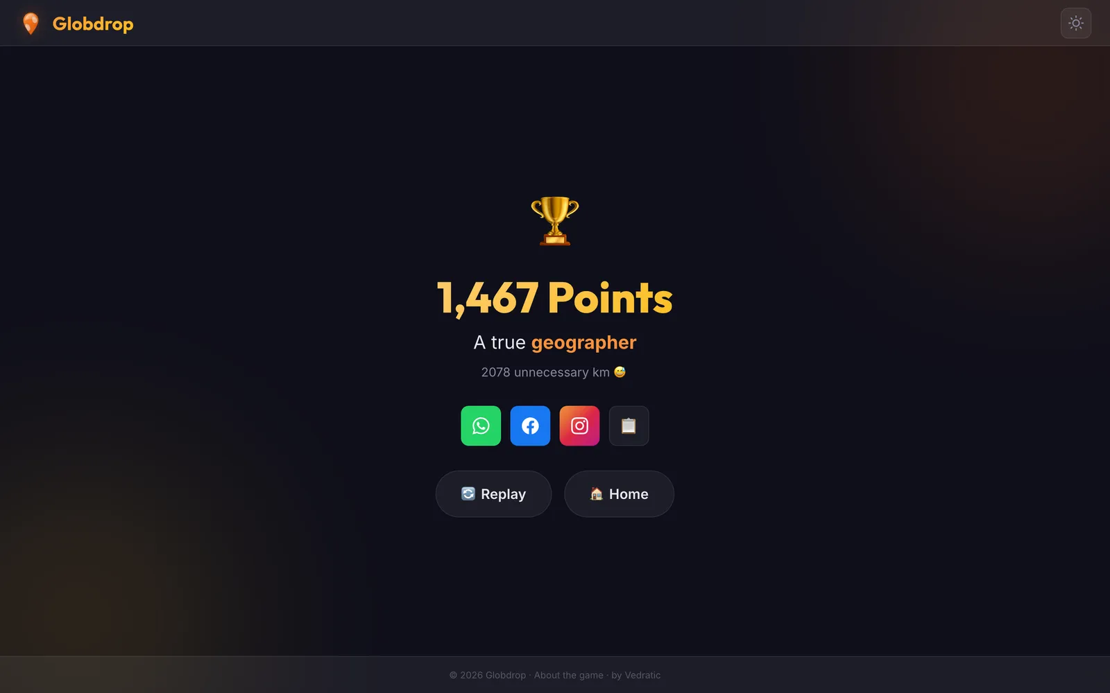
No. There are no accounts and no public rankings. At the end of a game you can share your result on WhatsApp or Facebook, copy it to paste on Instagram, or copy it as text, and challenge someone to beat it on the same scenario.

What does Globdrop store about me?

Only preferences, in your browser's localStorage: the language, the theme and the last tab you opened. Nothing is sent to us. The ads are served by Google, which may use cookies depending on the choice you make in the consent message. The details are in the privacy policy and the cookie policy.

Which languages does it support?

The interface is in Catalan, Spanish, English, Chinese, Arabic and Japanese. Flag names can be typed in Catalan, Spanish or English only, and the layout doesn't switch to right-to-left for Arabic yet.

Can I suggest a new scenario?

Yes. Send it through the contact form with the region or theme you have in mind and, if you know of one, a public source for the places or coordinates.

Related writing

Building software Fran

Type-to-answer in six languages

Globdrop's interface speaks six languages but its flag names only three. How normalisation, fallbacks and autocomplete behave in Chinese, Arabic and Japanese.

Maps & geography Joel

Why Globdrop Doesn't Use the Dymaxion Map

Fuller's Dymaxion map distorts area far less than Mercator. Why it still doesn't fit Globdrop: north-up maps, scores in km, distance on a flat image, cut faces.

The Lord of the Rings, Middle-earth, Game of Thrones and One Piece are trademarks of their respective owners. Globdrop is not affiliated with, sponsored or endorsed by them. The maps of these scenarios are original illustrations inspired by those works, and their place names are used for descriptive purposes only.