Why Your Mental Map Is Wrong: Reno, Detroit and Maine
An earlier version of this post was a list of ten trivia questions. Several of its answers were wrong or came with figures we couldn’t source, so we’ve cut it down to the three questions that are really about one thing: the map you carry in your head, and the shortcuts it takes. For each one we explain the shortcut, with the research that describes it, and say whether the mistake can show up in Globdrop.
Reno is west of Los Angeles
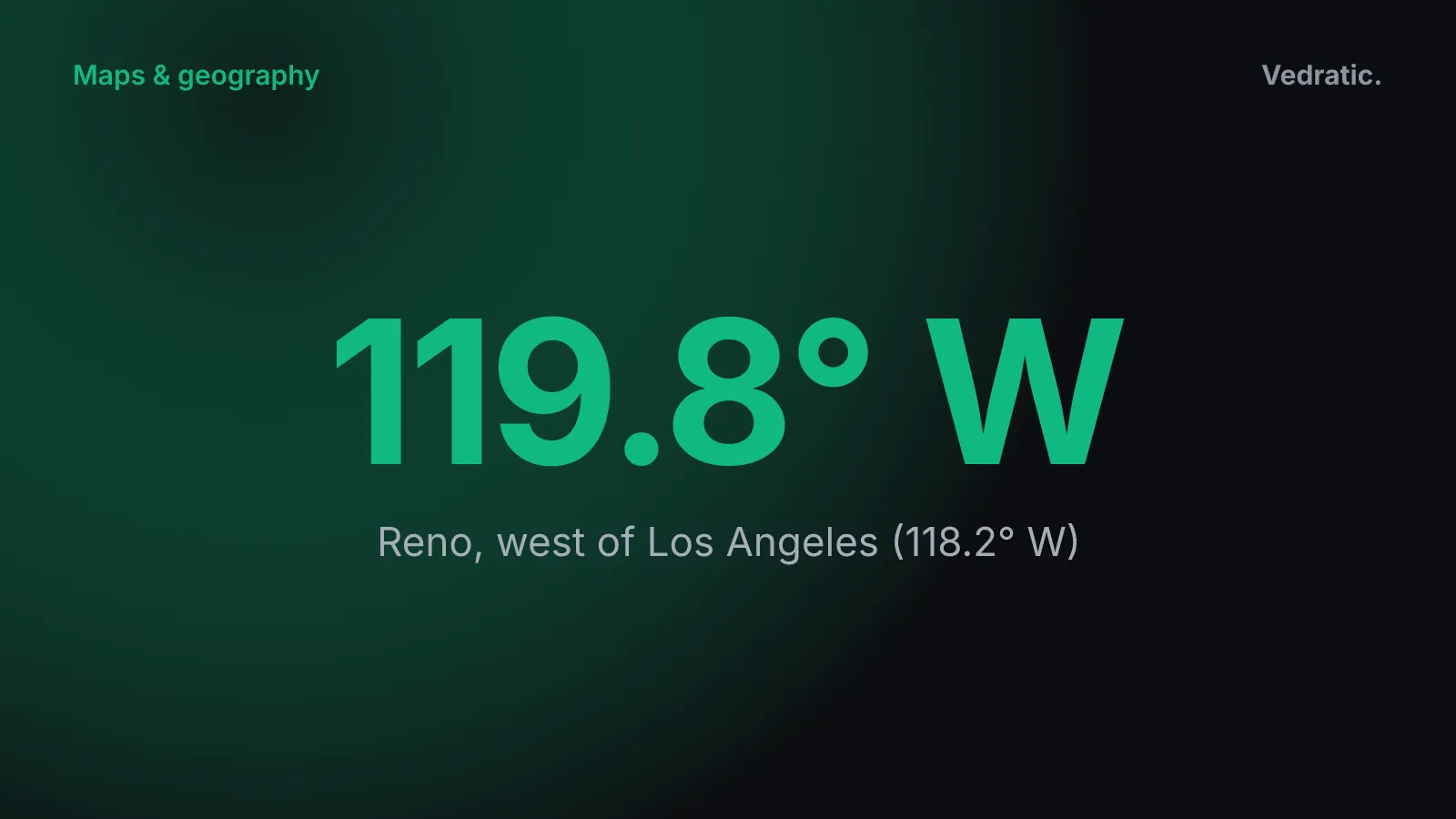
It is. Reno, Nevada, sits at 119.81° W and Los Angeles at 118.25° W. Reno is about 1.6 degrees of longitude further west, about 140 km at that latitude.
Many people would put Reno to the east, and there’s a well-known study of why. In 1978, Albert Stevens and Patty Coupe asked people in San Diego to draw the direction to Reno from memory. Most drew a line pointing north-east. Reno is north and slightly west of San Diego (Stevens and Coupe, 1978, Cognitive Psychology).
Their explanation is that memory stores places in a hierarchy. You don’t keep the exact position of every city. You keep the position of larger units, such as states, and which cities belong to which state. Nevada is mostly east of California, so every Nevada city gets filed as “east of California”. Most of the time that shortcut works. Where California’s coast bends south-east, it fails.
In Globdrop. Los Angeles and Reno aren’t in any scenario, but the same trap is in US States. That scenario names each state with its capital. Nevada’s capital, Carson City, is at 119.77° W in the scenario file, so it is also west of Los Angeles. If you place it by thinking “Nevada, so east”, your pin lands too far east, and the error line points you back west.
Windsor is south of Detroit
If you head due south from downtown Detroit, the first foreign country you reach is Canada. Windsor, Ontario, is on the south bank of the Detroit River, directly across from Detroit. Its centre is at 42.31° N. Detroit’s is at 42.33° N, slightly further north.
The shortcut here is straightening. Barbara Tversky showed that memory simplifies shapes: small bends are dropped and lines that are nearly straight are remembered as straight. She points out that it also explains another of Stevens and Coupe’s findings. People said Portland, Maine, is north of Portland, Oregon, because Maine borders Canada and Oregon doesn’t, and “Canada is north”. Remembered as a straight line, the border would put Maine north of Oregon (Tversky, 1981, Cognitive Psychology). In fact Portland, Oregon is at 45.52° N and Portland, Maine at 43.66° N. Detroit looks to us like the same shortcut at its most extreme. Along the Detroit River, the border dips so far south that Canada ends up south of a major US city.
In Globdrop. Detroit and Windsor aren’t in any scenario, and the US States map doesn’t draw Canada. The nearest place is Michigan, named with its capital, Lansing. We’d rather say that than pretend the game tests this one.
Maine is the US state closest to Africa
The easternmost point of the contiguous United States is West Quoddy Head, in Lubec, Maine (44.82° N, 66.95° W). By our great-circle calculation (haversine on a sphere of radius 6,371 km), it is about 5,080 km (3,160 mi) from Cape Juby, on the Atlantic coast of southern Morocco. We checked that against points along the coast from Tangier to Senegal, and that stretch of coast was the closest. From Cape Canaveral, on Florida’s Atlantic coast, the nearest African coast is about 6,400 km away by the same method.
The old version of this post said Maine was “3,154 miles” from El Jadida, Morocco. The figure had no source, and El Jadida isn’t the closest point: by the same calculation, it’s about 5,095 km (3,166 mi) from West Quoddy Head, a little further than Cape Juby. The reason it gave, “the curvature of the Earth and the eastward bulge of North America”, also muddled the point. The main factor is longitude. West Quoddy Head is about 14 degrees east of Cape Canaveral, and that outweighs Florida being 16 degrees further south.
If Florida feels closer, it’s because on a north-up map it sits at the same height as North Africa. Tversky called this alignment: memory lines up figures that are only roughly side by side. Given a true world map and one altered so the Americas lined up more with Europe and Africa, 63% of her subjects picked the altered one. Asked for compass directions between cities, more of them answered that Philadelphia is north of Rome, and Washington north of Madrid, than gave the right answer. Both are the other way round.
In Globdrop. Maine is in US States, but that map doesn’t show Africa. The alignment error from Tversky’s study is in World Capitals, though. It includes Washington, D.C. (38.91° N in the scenario file), Madrid (40.42° N) and Rome (41.90° N). If you remember Europe as sitting level with the southern United States, your pins for Madrid and Rome will land too far south. Europe is further north than a lot of people picture it. On a Miller world map, being too far south in Europe also costs more than it looks, as we explain in How the Mercator projection changes the size of the world.
What we took out of the old list, and why
- “Africa is the only continent in all four hemispheres.” That depends on where you draw the line between east and west. With the 0° and 180° meridians, Asia qualifies too. Its easternmost mainland point, Cape Dezhnev, is at 169.65° W, and much of Indonesia lies south of the equator.
- “Sweden has the most islands.” Statistics Sweden counted almost 270,000 Swedish islands, and fewer than 1,000 of them are inhabited. That count includes islands in lakes, artificial islands and islands as small as nine square metres (SCB, 2014). Other countries count with different rules, so a “most islands” ranking compares different definitions. We don’t state it as a record.
- The other mile figures, for the Antarctic desert, the US–Canada border and Mauna Kea, came without sources and weren’t about mental maps, so they’re gone.
The mistakes above aren’t failures of knowledge. They’re shortcuts that usually work. Globdrop’s error line is there to show you where a shortcut stops working: after each click it draws a straight line from your guess to the answer. We describe how we designed it in Designing Globdrop’s feedback loop, and the how-to-play guide lists every scenario.