Why Dymaxion and Fuller Projections Make Better Game Maps
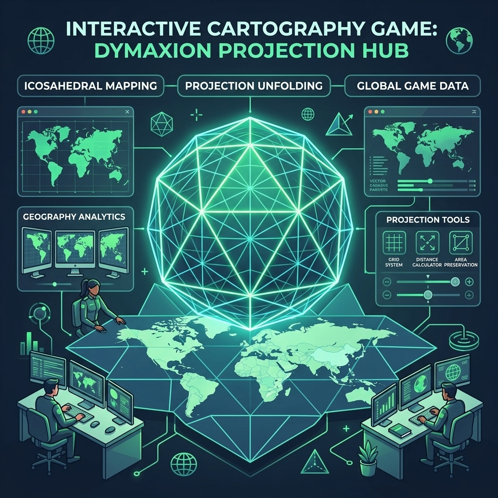
Every interactive map on the web starts with a fundamental compromise: how do you flatten a three-dimensional oblate spheroid onto a two-dimensional rectangular screen without lying to the user? In traditional web mapping—dominated by navigation tools like Google Maps or OpenStreetMap—the answer almost always defaults to the Web Mercator projection (EPSG:3857).
While Mercator is brilliantly practical for preserving local bearings and street-level navigation, it is notoriously terrible for global spatial awareness. Greenland appears larger than Africa, Antarctica mutates into an endless icy barrier across the bottom of the world, and distances near the poles stretch out to infinity. When we began building Globdrop, we realized early on that using standard cylindrical projections actively sabotaged the core mechanics of a spatial recognition game.
In this engineering deep dive, we explore why Buckminster Fuller's Dymaxion projection offers a superior geometry for interactive cartography games, and how modern vector-based DOM rendering allows us to break free from the Mercator monoculture.
The Geometric Curse of Cylindrical Projections
In a spatial recall game where players must pinpoint countries, regions, or cities from memory within seconds, scale fidelity is paramount. When a projection distorts area, it biases gameplay. Consider the cognitive friction caused by the Mercator projection:
1. Area Inflation Near the Poles
Because latitude lines are spaced farther apart as you move away from the equator to keep compass directions true (rhumb lines), northern landmasses gain massive visual weight. A player asked to click on Finland or Canada is handed a massive hit target, whereas a player asked to locate Uganda or Ecuador must aim at a comparatively compressed polygon.
2. Severed Trans-Polar Continuity
Standard cylindrical maps sever the Arctic Ocean completely. Alaska and eastern Russia appear at opposite extremities of the screen across a vast, artificial 20,000-kilometer gap, obscuring their true proximity across the Bering Strait.
Enter Buckminster Fuller's Icosahedron
In 1943, visionary architect and systems theorist R. Buckminster Fuller introduced the Dymaxion map (or Fuller projection). Instead of projecting the globe onto a cylinder or cone, Fuller projected the Earth onto the surface of an icosahedron—a polyhedron composed of 20 equilateral triangles—which is then unfolded flat.
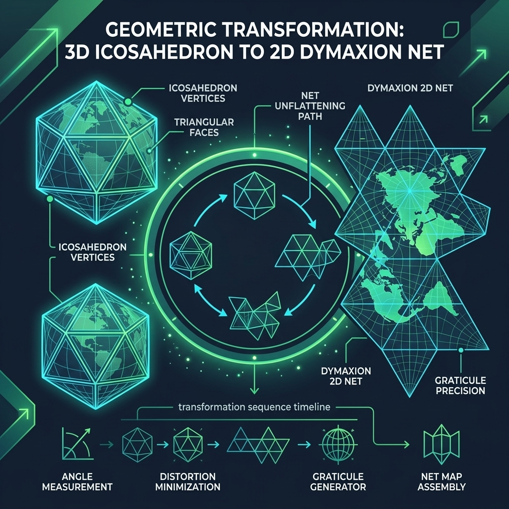
Fuller's genius lay in how he orientated the icosahedron relative to the Earth's continents before unfolding it. By carefully aligning the triangular edges along the oceans, the projection achieves three revolutionary properties for interactive spatial applications:
- Minimal Area Distortion: Unlike Mercator or Robinson projections, every triangular face of the icosahedron experiences only minimal geometric shearing. The relative sizes of Africa, South America, and Europe remain virtually identical to their actual ratios on a physical globe.
- No 'Up' or 'Down' Bias: Because the map unfolds from a polyhedron without north-up orientation lock, it strips away cultural biases that traditionally place the Northern Hemisphere at the apex of global hierarchy.
- The One-World Island: The entire world can be unfolded so that all major continents form a nearly continuous single landmass surrounded by ocean—highlighting human migration paths and geographic connectivity in a way square maps never can.
Implementing Polyhedral Projections with SVG & Vector Math
While the Dymaxion projection is conceptually beautiful, rendering it in a browser historically presented significant technical roadblocks. Traditional tile-based map libraries rely on fixed pyramid grids (Z/X/Y PNG tiles) that are hardcoded to the Web Mercator coordinate reference system (CRS).
To overcome this in Globdrop, we bypassed raster tile servers entirely in favor of lightweight TopoJSON vector topologies transformed directly into scalable DOM elements. Here is how our rendering pipeline handles polyhedral coordinate transformations:
1. Great-Circle Tessellation
Before projecting spherical coordinates ([longitude, latitude]) onto flat triangular faces, long country borders that span across icosahedral edges must be dynamically subdivided along great circles (d3.geoGraticule). If a polygon isn't subdivided at the exact boundary of a Fuller triangle, folding the 3D faces into a 2D net produces unsightly self-intersecting vector paths.
2. Barycentric Matrix Transforms
Each point on the globe is mapped to its corresponding 3D triangle face on the icosahedron using barycentric coordinates (u, v, w). Once localized within a face, we apply an affine transformation matrix to rotate and translate the triangle into its precise 2D slot within Fuller's unfolded net layout.
Gameplay Benefits: Leveling the Spatial Playing Field
By offering alternative geometric projections in Globdrop, we notice immediate improvements in how players interact with world geography:
First, fair hit-testing: nations along the equator are no longer penalized with microscopic bounding boxes. Every square kilometer of real-world territory corresponds to a proportional number of screen pixels regardless of latitude. Second, improved spatial reasoning: rotating and exploring non-cylindrical projections forces players to engage their parietal lobe and mental rotation faculties rather than relying on rote memorization of rectangular wall maps.
Conclusion
Cartography is never neutral; the projections we build into software shape how users conceptualize our planet. While Mercator will continue to rule turn-by-turn driving directions, games and educational tools deserve geometry that honors the true scale and interconnectedness of our world. By combining Fuller's polyhedral mathematics with modern browser vector pipelines, Globdrop delivers a fast, accurate, and deeply engaging spatial experience right in your DOM.