The History of Cartography: From Babylon to GPS
Since the dawn of human civilization, we have felt an intrinsic need to understand our place in the world. Long before the written word was standardized, early humans were scratching representations of their local environments into cave walls and animal bones. This desire to record and communicate spatial information birthed one of humanity's most crucial sciences: cartography.
The history of mapmaking is not just a history of geography; it is a mirror reflecting our changing understanding of science, religion, politics, and technology. Let's trace the fascinating journey of how we mapped the world.
The Imago Mundi: The Oldest Surviving Map
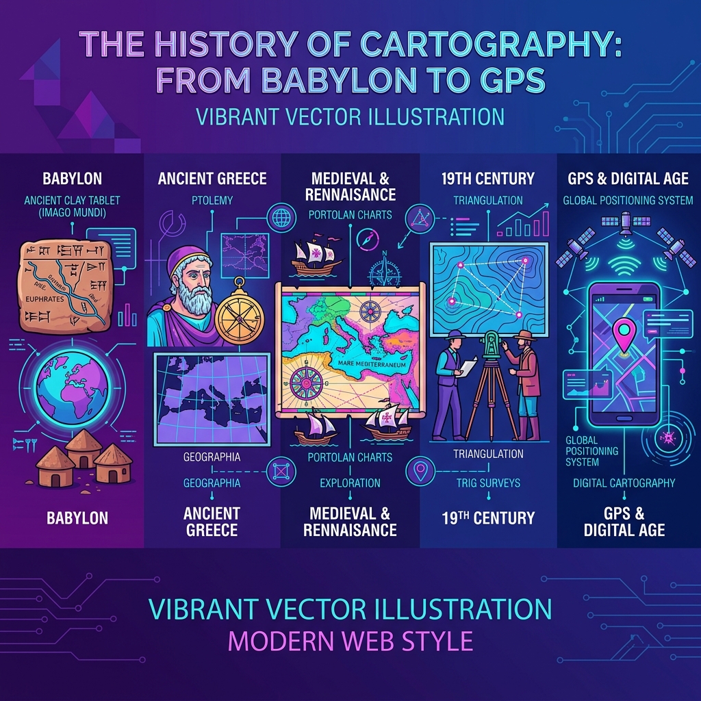
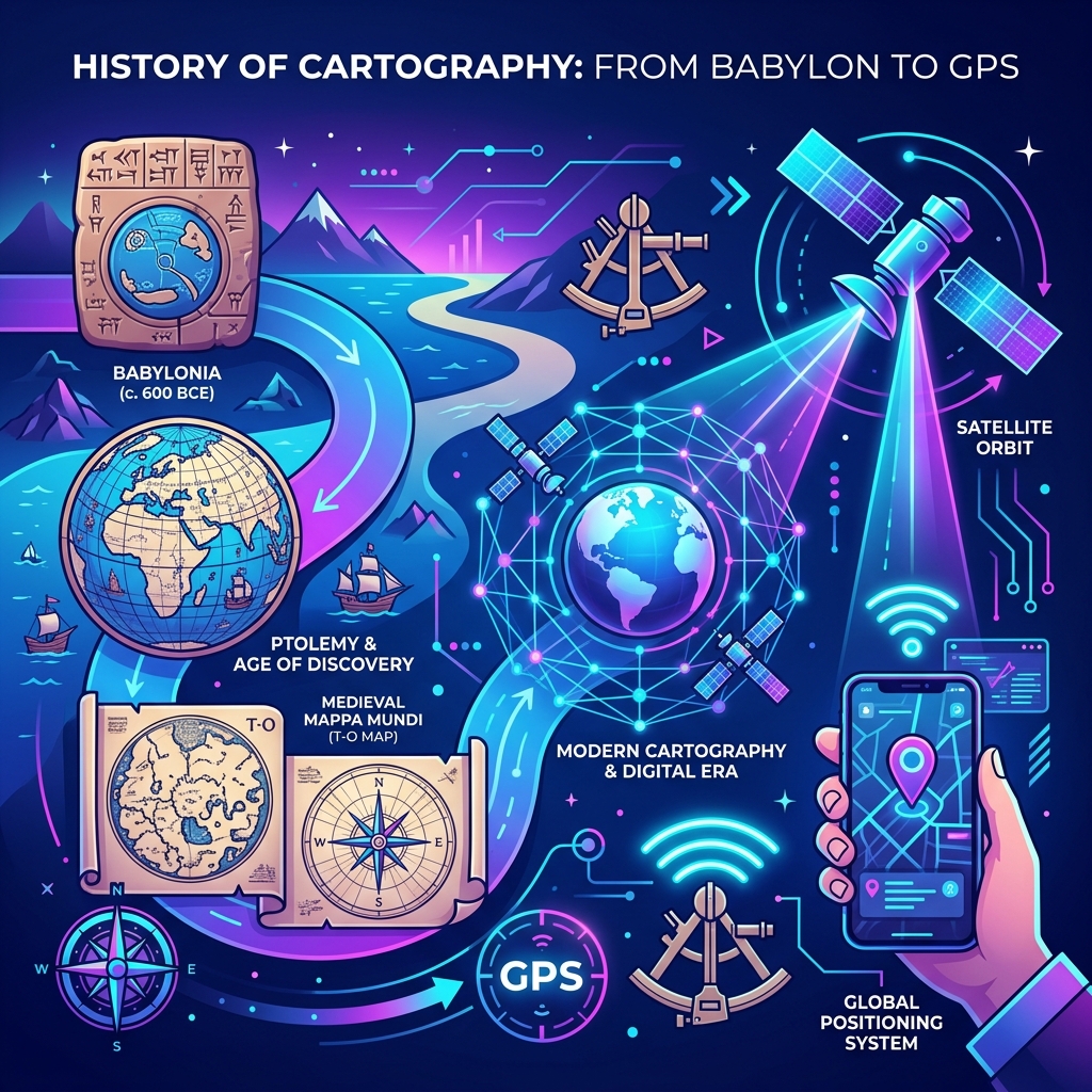
The earliest known comprehensive map of the world is the Babylonian Imago Mundi, dating back to approximately 600 BCE. Carved into a small clay tablet discovered in modern-day Iraq, it presents a fascinatingly egocentric view of the universe. Babylon sits firmly at the center, surrounded by the Euphrates River, oceans, and mythical islands. It wasn't designed for navigation; rather, it was a symbolic representation of the Babylonian cosmos, blending known geography with mythological realms.
The Greek Revolution: Earth as a Sphere
While early maps were flat, the ancient Greeks revolutionized cartography by applying mathematics and geometry. Pythagoras first proposed a spherical Earth, a theory later proven by Aristotle. But it was Eratosthenes (around 240 BCE) who truly elevated the science. Using nothing but the angles of shadows cast by the sun in different cities, he calculated the circumference of the Earth with astonishing accuracy.
Later, in the 2nd century CE, Ptolemy compiled the Geographia, a massive treatise that introduced the concepts of latitude and longitude. Ptolemy plotted over 8,000 locations on a grid system, establishing the foundational mathematical principles of modern cartography that would be used for millennia.
The Middle Ages: Faith over Fact
During the European Middle Ages, scientific cartography took a back seat to theology. The dominant map format in the Christian world was the Mappa Mundi, specifically the "T and O" map. These maps depicted the world as a circle (the O) divided by a T-shaped body of water, splitting the land into three continents: Asia, Europe, and Africa. Jerusalem was invariably placed at the exact center, and the Garden of Eden was often drawn at the top (which was oriented to the East, not North).
However, while Europe focused on theological maps, the Islamic Golden Age preserved and expanded upon Ptolemy's work. Scholars like Al-Idrisi created the Tabula Rogeriana in 1154, one of the most advanced and accurate maps of the known world at the time, integrating knowledge from merchants and explorers traveling the Silk Road and the Indian Ocean.
The Age of Discovery: Mapping the Unknown
The 15th and 16th centuries marked a paradigm shift. The invention of the printing press meant maps could be widely distributed, and the Age of Discovery fueled a massive demand for accurate navigational charts. Explorers like Columbus, Magellan, and Da Gama pushed the boundaries of the known world.
In 1569, a Flemish cartographer named Gerardus Mercator introduced a map projection that would change the world. The Mercator projection allowed sailors to chart straight-line courses (rhumb lines) across oceans. While it heavily distorted the size of landmasses near the poles, it was a technological masterpiece for maritime navigation.
The 19th and 20th Centuries: Precision and Aerial Photography
As empires expanded, governments realized that accurate maps were essential for taxation, military planning, and infrastructure. The Ordnance Survey in the UK and similar organizations worldwide began triangulating entire countries with extreme precision.
The invention of flight in the early 20th century introduced aerial photography, allowing cartographers to map impenetrable terrains like dense jungles and mountain peaks for the first time. The world was finally being viewed from a true "bird's-eye" perspective.
The Digital Era: Satellites and GPS
The launch of Sputnik in 1957 kicked off the space race, and soon after, satellites began transmitting imagery back to Earth. In the 1970s, the US Department of Defense developed the Global Positioning System (GPS), initially for military use. By the year 2000, high-precision GPS was made available to the public.
Today, cartography is a digital, dynamic, and interactive science. Tools like Google Maps, OpenStreetMap, and Geographic Information Systems (GIS) rely on constellations of satellites to provide real-time, turn-by-turn navigation with centimeter-level accuracy.
Conclusion
From a clay tablet in Babylon to a glowing smartphone screen in your hand, maps have always been our most vital tool for navigating reality. They tell the story of human curiosity, the drive to explore, and our continuous quest to mathematically define the space we inhabit. The next time you open a map app or play a round of Globdrop, remember that you are interacting with the culmination of 3,000 years of human ingenuity.