A Beginner's Guide to Topographical Maps
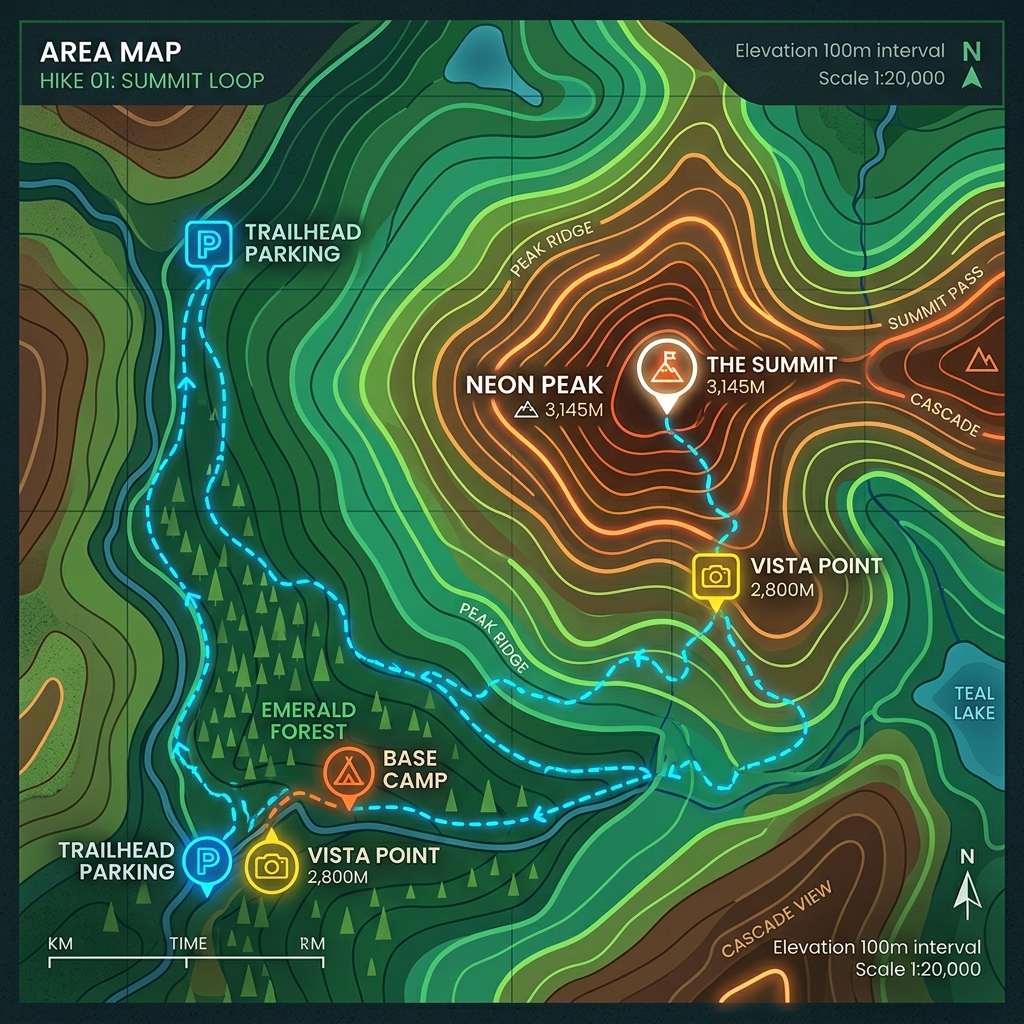
If you open Google Maps in its default view, you see a flat representation of roads, cities, and borders. This is a planimetric map; it tells you the horizontal positions of features, but it tells you nothing about the vertical reality of the Earth. If you use a planimetric map to plan a hike, a seemingly short two-mile walk might turn out to be a grueling ascent up the side of a cliff.
To truly understand the shape of the land, you need a topographical map (or topo map). Topo maps use a clever system of lines to represent the three-dimensional terrain of the Earth on a two-dimensional piece of paper. Learning to read them is like learning a new language—suddenly, flat paper rises into mountains, dips into valleys, and reveals the invisible architecture of the wild.
The Secret Language of Contour Lines
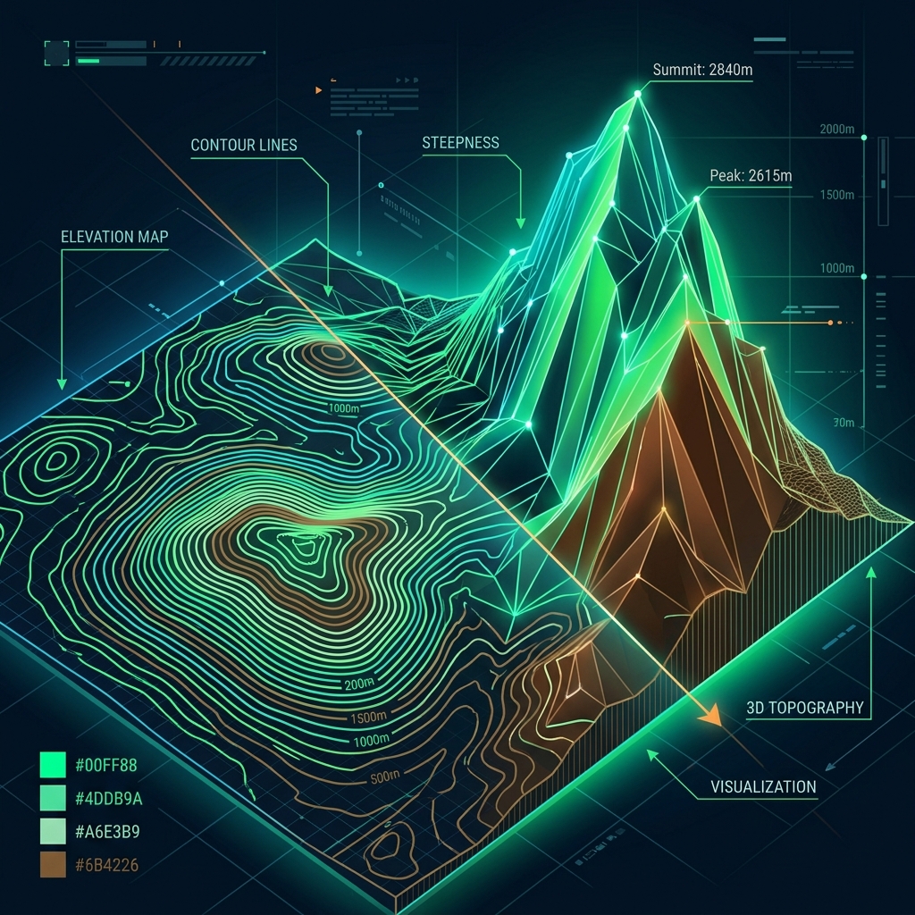
The defining feature of any topographical map is the contour line. A contour line connects points of equal elevation above sea level. Imagine walking around a mountain while staying exactly at the same altitude the entire time; the path you walked would be a contour line.
Here are the golden rules of contour lines:
- Lines Never Cross: Because a single point on the ground cannot be at two different elevations simultaneously, contour lines never intersect (with the extremely rare exception of an overhanging cliff).
- Spacing Equals Steepness: The closer the contour lines are to each other, the steeper the terrain. If the lines are packed tightly together, you are looking at a cliff face or a steep mountainside. If the lines are spaced far apart, the land is relatively flat or gently sloping.
- The Contour Interval: Every map has a legend that states the "contour interval"—the vertical distance between each line. If the interval is 40 feet, crossing one line means you have gone up or down 40 feet in elevation.
- Index Contours: To make the map easier to read, usually every fifth line is thicker and has the exact elevation number printed on it. These are called index contours.
Identifying Terrain Features
Once you understand how the lines work, you can begin to identify specific geographic features just by looking at the patterns they form.
1. Peaks and Summits
As you go up a mountain, the contour lines form smaller and smaller concentric circles. The innermost, smallest circle represents the peak or summit. Sometimes, the exact elevation of the peak is marked with an "X" or a small triangle.
2. Valleys and Ravines
When contour lines cross a river, stream, or valley, they form a "V" or "U" shape. The crucial rule to remember is the Rule of V's: The point of the "V" always points upstream, toward higher elevation. If you see a series of V's pointing north, it means there is a valley sloping downward to the south, and any water there will flow south.
3. Saddles and Passes
A saddle is a lower point of elevation between two peaks (shaped like a horse's saddle). On a map, it looks like an hourglass shape—two sets of concentric circles (the peaks) with contour lines curving away from each other in the middle.
4. Depressions
How do you tell the difference between a peak going up and a crater going down? Depressions (like sinkholes or volcanic craters) are marked with contour lines that have small tick marks (hachures) pointing inward toward the center of the depression.
Colors and Symbols
Beyond the brown contour lines, topo maps use standardized colors to provide context:
- Green: Vegetation, such as forests, woods, or orchards. The darker the green, the denser the vegetation.
- Blue: Water features. Solid blue areas are lakes or oceans, while blue lines represent rivers and streams.
- Black: Human-made features like roads, buildings, borders, and trails.
- White: Areas with little to no vegetation, such as bare rock, sand, or snowfields.
Why Topographical Skills Still Matter
In the age of GPS, it is tempting to think topo maps are obsolete. But batteries die, screens break, and dense tree canopies block satellite signals. A physical topographical map and a compass remain the most reliable navigation tools in the backcountry.
Furthermore, reading a topo map develops your spatial reasoning. It forces your brain to translate a 2D abstraction into a 3D mental model. It teaches you to look at a landscape and understand its hydrology and geology. The next time you plan an adventure, don't just look at the trail line—study the contours. The map will tell you exactly how much you are going to sweat.