The Impact of Geography on Video Game Design
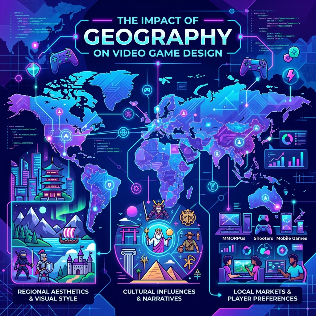
When players step into an expansive open-world video game like The Legend of Zelda: Breath of the Wild, Red Dead Redemption 2, or Skyrim, they rarely think about the geologists or cartographers who might have consulted on the project. Yet, the most immersive digital worlds are those that strictly adhere to the laws of physical geography. A game map that ignores topography, biome distribution, and natural boundaries feels artificial and confusing. A map that embraces them feels like a real, breathing world.
Topography and the Art of the Sightline
In physical geography, topography refers to the arrangement of the natural and artificial physical features of an area. In game design, topography is the primary tool for guiding player behavior without using intrusive UI markers.
Game developers use the "weenie" design philosophy (a term coined by Walt Disney for theme park design). A weenie is a massive, highly visible landmark—like a towering volcano, a glowing castle, or a massive tree—that draws the player's eye and gives them a natural sense of direction. By carefully crafting the elevation map, developers ensure that whenever a player climbs a hill or clears a forest, a new sightline opens up, revealing a distant landmark that beckons them forward.
Mountains act as natural pacing mechanisms. They block line-of-sight, building anticipation for what lies beyond, and physically delay the player, making the journey feel earned. Valleys and rivers naturally funnel players into ambush points or hidden settlements, just as they have directed human migration in the real world.
Biome Logic and Climatic Realism
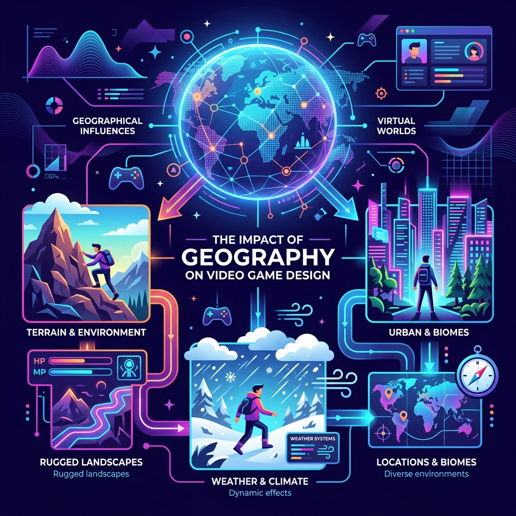
In the early days of gaming, developers would randomly place a snow level next to a lava level. Today's players demand more environmental logic. High-end open worlds rely on complex procedural generation algorithms that mimic real-world climatology.
A realistic game map places mountain ranges where tectonic plates would theoretically collide. It accounts for the "rain shadow" effect: the windward side of a mountain range is lush and green, while the leeward side is an arid desert. Rivers spawn at high elevations, follow the path of least resistance through canyons, merge, and eventually empty into an ocean delta. When players encounter a swamp, it is always at the lowest local elevation where water would naturally collect.
This adherence to geographic logic means that players can intuitively navigate the world. If a player is looking for a specific type of fish or herb, they intuitively know to follow a river down to a lake, rather than wandering aimlessly. The geography itself becomes part of the game's language.
Cartography as UI
The in-game map is the most frequently accessed UI element in any open-world game. Designing these maps requires balancing aesthetics with massive amounts of data density.
In games that aim for historical realism, developers often mimic the cartographic styles of the era. A pirate game might feature maps with rhumb lines, sea monsters, and compass roses, complete with the inaccuracies of 17th-century navigation. Modern tactical shooters use high-contrast satellite imagery and topographical contour lines.
At Vedratic, when designing the maps for Globdrop, we faced a similar challenge. We had to strip away political borders and text labels, presenting players with pure geographic shapes—coastlines, rivers, and terrain boundaries. It turns out that when you remove labels, a map stops being a reference document and becomes a visual puzzle, forcing the player to rely purely on spatial memory.
The Illusion of Scale
Real-world geography is far too vast to simulate 1:1 in a video game (unless you are playing Microsoft Flight Simulator). A true-to-scale map would require players to walk for weeks of real-time to cross a small continent. To solve this, developers use geographic compression.
Compression involves capturing the "essence" of a biome and rapidly transitioning to the next. A game might compress the entire Mojave Desert into a 10-minute walk. To hide this compression, level designers use winding paths, deep ravines, and thick fog. The player's brain is tricked into feeling like they have traversed a massive distance because they have experienced numerous micro-environments along the way.
Conclusion
Video game level design is perhaps the most practical application of digital geography today. The best developers are, at their core, virtual cartographers and digital landscapers. By respecting the laws of elevation, climate, and topography, they create worlds that our brains instinctively accept as real, allowing us to lose ourselves in the adventure.